Geolocate

Avoca topographic map

Click on the map to display elevation.

About this map

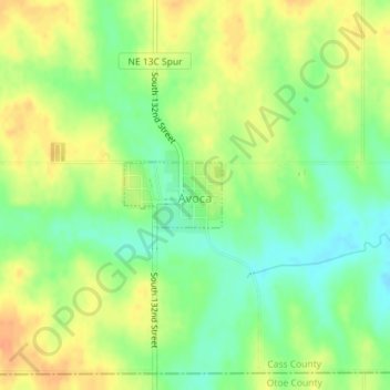
Name: Avoca topographic map, elevation, terrain.

Location: Avoca, Cass County, Nebraska, United States (40.79404 -96.12398 40.79861 -96.11506)

Average elevation: 367 m

Minimum elevation: 348 m

Maximum elevation: 385 m

Gear up for your next adventure:

📷Outdoor Action Camera - Capture high-elevation views and rugged adventures
🦶Anti-Blister Balm - Prevents friction and hotspots during long ascents
🛏️Sleeping Bag - Warm and compact sleeping bags for outdoor camping
🔋Lithium AA Batteries - Long-lasting power that performs in extreme cold
🧤Thermal Hiking Gloves - Grip-enhanced gloves for cold-weather altitude trekking

As an Amazon Associate, this site earns from qualifying purchases at no extra cost to you.