
Blumendorf topographic map
Interactive map
Click on the map to display elevation.
About this map
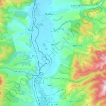
Name: Blumendorf topographic map, elevation, terrain.
Location: Blumendorf, Kovasna, Rumänien (45.88904 25.54037 45.95935 25.71189)
Average elevation: 580 m
Minimum elevation: 468 m
Maximum elevation: 952 m
Other topographic maps
Click on a map to view its topography, its elevation and its terrain.