
Westmere topographic map
Click on the map to display elevation.
About this map
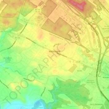
Name: Westmere topographic map, elevation, terrain.
Average elevation: 79 m
Minimum elevation: 29 m
Maximum elevation: 121 m
Other topographic maps
Click on a map to view its topography, its elevation and its terrain.
Hartmans Corners
United States > New York > Albany County > Town of Guilderland
Average elevation: 81 m
Guilderland Center
United States > New York > Albany County > Town of Guilderland
Average elevation: 96 m