
Fracc. Santo Tomás Chiconautla topographic map
Interactive map
Click on the map to display elevation.
About this map
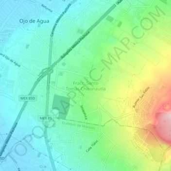
Name: Fracc. Santo Tomás Chiconautla topographic map, elevation, terrain.
Location: Fracc. Santo Tomás Chiconautla, Tecámac, 55077, México (19.63915 -99.01531 19.67915 -98.97531)
Average elevation: 2,323 m
Minimum elevation: 2,242 m
Maximum elevation: 2,525 m