

Gaziantep topographic map
Click on the map to display elevation.
Gaziantep
The plan introduced several important changes to the city's transportation network. One of the most important was the addition of a rail line to connect Gaziantep to the national rail system. Up to now, Turkish railway construction had ignored Gaziantep (partly because of its mountainous surroundings); a national railway plan also introduced in 1938 left Gaziantep unconnected to the rail network. The Jansen plan represented the first major proposal to construct a railway to Gaziantep. Jansen wanted to put the train station on the north side of the city, for multiple reasons. First, because the topography on the north side is flatter; and second, because putting a railway on the south side would separate the old town from the new planned residential areas further south, which Jansen wanted to avoid.
About this map
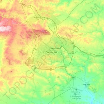
Name: Gaziantep topographic map, elevation, terrain.
Average elevation: 880 m
Minimum elevation: 626 m
Maximum elevation: 1,334 m