Geolocate

La Aguada topographic map

Click on the map to display elevation.

About this map

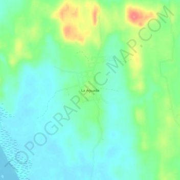
Name: La Aguada topographic map, elevation, terrain.

Location: La Aguada, Alvarado, Veracruz, 95252, Mexico (19.00972 -96.05278 19.04972 -96.01278)

Average elevation: 23 m

Minimum elevation: -2 m

Maximum elevation: 76 m

Gear up for your next adventure:

Camping Essentials - All-in-one gear for a comfortable camping trip
📷Outdoor Action Camera - Capture high-elevation views and rugged adventures
🛶Canoe Life Vest - Safety vest for water sports
🔦LED Flashlight - Powerful and long-lasting flashlight for camping and emergencies
🥤Collapsible Travel Cup - Saves space and weight in your mess kit

As an Amazon Associate, this site earns from qualifying purchases at no extra cost to you.