
Mellit topographic map
Interactive map
Click on the map to display elevation.
About this map
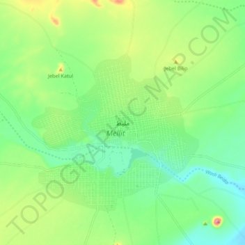
Name: Mellit topographic map, elevation, terrain.
Location: Mellit, Darfour du Nord, Soudan (14.09942 25.51044 14.17942 25.59044)
Average elevation: 925 m
Minimum elevation: 869 m
Maximum elevation: 1,037 m
Other topographic maps
Click on a map to view its topography, its elevation and its terrain.
Mabo
Soudan > Darfour du Nord > Mellit
Mabo, Mellit, Darfour du Nord, Soudan
Average elevation: 1,160 m