
Los Peroles topographic map
Interactive map
Click on the map to display elevation.
About this map
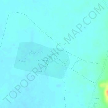
Name: Los Peroles topographic map, elevation, terrain.
Location: Los Peroles, Rioverde, San Luis Potosí, México (22.18668 -99.90122 22.18740 -99.89886)
Average elevation: 1,027 m
Minimum elevation: 1,022 m
Maximum elevation: 1,059 m