
Cherry Valley topographic map
Click on the map to display elevation.
About this map
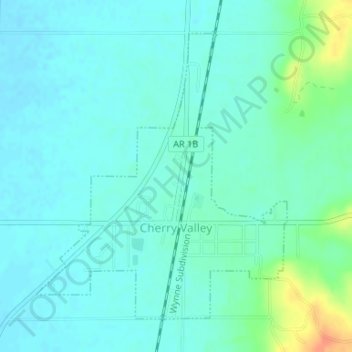
Name: Cherry Valley topographic map, elevation, terrain.
Location: Cherry Valley, Cross County, Arkansas, United States (35.39504 -90.76637 35.41693 -90.74272)
Average elevation: 87 m
Minimum elevation: 78 m
Maximum elevation: 120 m