Geolocate

Tamboya topographic map

Click on the map to display elevation.

About this map

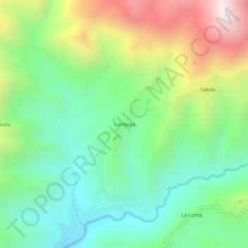
Name: Tamboya topographic map, elevation, terrain.

Location: Tamboya, Yamango, Morropón, Piura, Perú (-5.18721 -79.79844 -5.14721 -79.75844)

Average elevation: 1,014 m

Minimum elevation: 537 m

Maximum elevation: 1,908 m

Gear up for your next adventure:

🥾Trail Hiking Boots - Supportive boots for rough trails
🧴Insect Repellent - Protect yourself from bugs during outdoor adventures
🛶Kayak Dry Bag - Waterproof storage for kayaking adventures
Camping Essentials - All-in-one gear for a comfortable camping trip
Family Camping Tent - Spacious tent suitable for family camping trips

As an Amazon Associate, this site earns from qualifying purchases at no extra cost to you.