Geolocate

Thrissilery topographic map

Click on the map to display elevation.

About this map

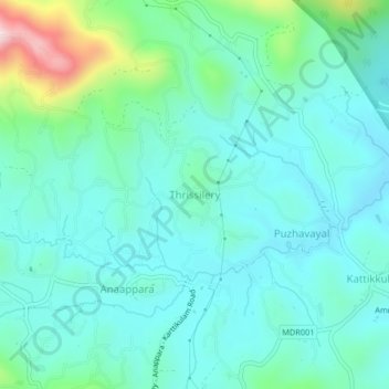
Name: Thrissilery topographic map, elevation, terrain.

Location: Thrissilery, Mananthavady, Wayanad, Kerala, 670646, India (11.83614 76.02400 11.87614 76.06400)

Average elevation: 810 m

Minimum elevation: 724 m

Maximum elevation: 1,163 m

Gear up for your next adventure:

🧦Crew Hiking Socks - Comfortable socks for long-distance hikes
🦶Anti-Blister Balm - Prevents friction and hotspots during long ascents
🔦UV Flashlight - Detect minerals or specific insects in the dark
🔭Outdoor Binoculars - Lightweight binoculars for birdwatching and hiking
💧Filtered Water Bottle - Safe drinking water on the go

As an Amazon Associate, this site earns from qualifying purchases at no extra cost to you.