Geolocate

Gayong topographic map

Click on the map to display elevation.

About this map

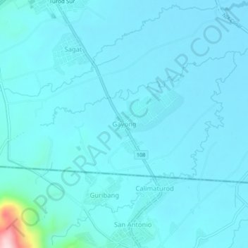
Name: Gayong topographic map, elevation, terrain.

Location: Gayong, Cordon, Isabela, Cagayan Valley, 3312, Philippines (16.62973 121.45995 16.66973 121.49995)

Average elevation: 114 m

Minimum elevation: 90 m

Maximum elevation: 394 m

Gear up for your next adventure:

🦶Anti-Blister Balm - Prevents friction and hotspots during long ascents
💡LED Headlamp - Hands-free illumination for night hiking and camping
🦯Trekking Poles - Reduced impact on joints for steep topographic climbs
🌡️Emergency Mylar Blankets - Compact thermal protection for unexpected nights outdoors
🥾Approach Shoes - Shoes designed for climbing approaches and rugged trails

As an Amazon Associate, this site earns from qualifying purchases at no extra cost to you.