Geolocate

Bunnlevel topographic map

Click on the map to display elevation.

About this map

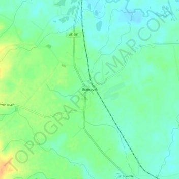
Name: Bunnlevel topographic map, elevation, terrain.

Location: Bunnlevel, Harnett County, North Carolina, United States (35.28961 -78.80030 35.32961 -78.76030)

Average elevation: 44 m

Minimum elevation: 32 m

Maximum elevation: 67 m

Other topographic maps

Click on a map to view its topography, its elevation and its terrain.

Dunn

United States > North Carolina > Harnett County

Average elevation: 59 m

Erwin

United States > North Carolina > Harnett County

Average elevation: 50 m

Angier

United States > North Carolina > Harnett County

Average elevation: 91 m

Gear up for your next adventure:

💧Collapsible Water Bottle - Space-saving water bottle for outdoor activities
🔭Outdoor Binoculars - Lightweight binoculars for birdwatching and hiking
👟Sport Hiking Sandals - Breathable footwear for water crossings and camp rest
🥘Camping Cookware Set - Compact nesting pots and pans for trail cooking
Camping Coffee Maker - Brew fresh coffee anywhere on the topographic map

As an Amazon Associate, this site earns from qualifying purchases at no extra cost to you.