

Bien-Assis topographic map
Click on the map to display elevation.
About this map
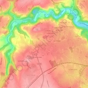
Name: Bien-Assis topographic map, elevation, terrain.
Average elevation: 97 m
Minimum elevation: 7 m
Maximum elevation: 137 m
Other topographic maps
Click on a map to view its topography, its elevation and its terrain.


Bois Boissel
France > Bretagne > Côtes-d'Armor > Saint-Brieuc > La Ville Guyomard
Average elevation: 87 m


Villa Rohannec'h
France > Bretagne > Côtes-d'Armor > Saint-Brieuc
Le domaine se trouve à l'est du centre-ville de Saint-Brieuc dans le quartier Saint-Michel sur une éminence qui domine la vallée du Légué. Un chemin permet de descendre au port du Légué. Point culminant au milieu des deux cours d'eau qui traversent Saint-Brieuc, le Gouët à l'Ouest et le Gouédic à…
Average elevation: 65 m