
Athea topographic map
Click on the map to display elevation.
About this map
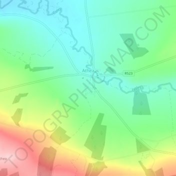
Name: Athea topographic map, elevation, terrain.
Average elevation: 114 m
Minimum elevation: 49 m
Maximum elevation: 236 m
Other topographic maps
Click on a map to view its topography, its elevation and its terrain.
Knockawarriga
Ireland > County Limerick > The Municipal District of Newcastle West
Average elevation: 247 m
Templeglantine
Ireland > County Limerick > The Municipal District of Newcastle West
Average elevation: 189 m