
La Préalle topographic map
Interactive map
Click on the map to display elevation.
About this map
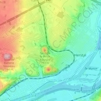
Name: La Préalle topographic map, elevation, terrain.
Location: La Préalle, Herstal, Liège, Wallonie, 4040, Belgique (50.64686 5.59153 50.68686 5.63153)
Average elevation: 106 m
Minimum elevation: 53 m
Maximum elevation: 219 m
Other topographic maps
Click on a map to view its topography, its elevation and its terrain.