Geolocate

Isola topographic map

Click on the map to display elevation.

About this map
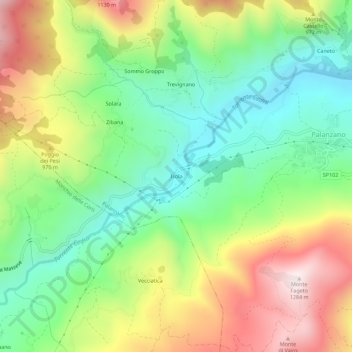
Name: Isola topographic map, elevation, terrain.

Location: Isola, Palanzano, Parma, Emilia-Romagna, Italia (44.41268 10.15027 44.45268 10.19027)

Average elevation: 823 m

Minimum elevation: 521 m

Maximum elevation: 1,271 m

Gear up for your next adventure:

🧥Ultralight Puffy Jacket - Maximum warmth that packs down to the size of an orange
🧢Hiking Hat - Sun-protective and breathable hats for long treks
⛺Lightweight Backpacking Tent - Compact tent for efficient hiking trips
🧴Bear Spray Holster - Quick-access carry for essential Canadian wilderness safety
🥾All-Terrain Hiking Boots - Versatile boots for varied hiking conditions

As an Amazon Associate, this site earns from qualifying purchases at no extra cost to you.