
Harwich topographic map
Click on the map to display elevation.
About this map
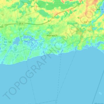
Name: Harwich topographic map, elevation, terrain.
Location: Harwich, Barnstable County, Massachusetts, United States (41.60332 -70.13385 41.72894 -69.98038)
Average elevation: 7 m
Minimum elevation: -4 m
Maximum elevation: 34 m
Other topographic maps
Click on a map to view its topography, its elevation and its terrain.
South Dennis
United States > Massachusetts > Barnstable County > Dennis > South Dennis
Average elevation: 9 m
CR #10
United States > Massachusetts > Barnstable County > Falmouth > Saconesset Hills
Average elevation: 14 m