Geolocate

Santa Juana topographic map

Click on the map to display elevation.

About this map

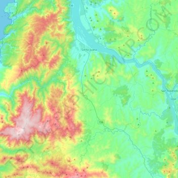
Name: Santa Juana topographic map, elevation, terrain.

Location: Santa Juana, Provincia de Concepción, Biobío Region, Chile (-37.45115 -73.13401 -37.06754 -72.72676)

Average elevation: 262 m

Minimum elevation: 0 m

Maximum elevation: 925 m

Gear up for your next adventure:

🧥Waterproof Pants - Keep dry during rainy hiking conditions
🥾Trail Running Shoes - Lightweight and durable shoes for trail running
🦶Hiking Shoe Insoles - Added support for high arches and long days on feet
🧢Hiking Sun Hat - Wide-brimmed protection for exposed mountain ridges
💡LED Headlamp - Hands-free illumination for night hiking and camping

As an Amazon Associate, this site earns from qualifying purchases at no extra cost to you.