Geolocate

Reichenbach topographic map

Click on the map to display elevation.

About this map

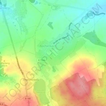
Name: Reichenbach topographic map, elevation, terrain.

Location: Reichenbach, Callenberg, Zwickau, Sachsen, Deutschland (50.82150 12.64079 50.84579 12.68053)

Average elevation: 352 m

Minimum elevation: 306 m

Maximum elevation: 410 m

Other topographic maps

Click on a map to view its topography, its elevation and its terrain.

Kapellenberg

Deutschland > Sachsen > Zwickau > Callenberg

Average elevation: 408 m

Callenberg Nord II

Deutschland > Sachsen > Zwickau > Callenberg

Average elevation: 306 m

Langenberger Höhe

Deutschland > Sachsen > Zwickau > Callenberg

Average elevation: 425 m

Obercallenberg

Deutschland > Sachsen > Zwickau > Callenberg

Average elevation: 357 m

Kahleberg

Deutschland > Sachsen > Zwickau > Callenberg

Average elevation: 319 m

Gear up for your next adventure:

🧭GPS Handheld Device - Reliable GPS navigation for outdoor adventures
Camping Groundsheet - Protect your tent from moisture and dirt
🌡️Emergency Mylar Blankets - Compact thermal protection for unexpected nights outdoors
🎒Fully Waterproof Backpack - Total protection for photography gear and electronics
🧦Crew Hiking Socks - Comfortable socks for long-distance hikes

As an Amazon Associate, this site earns from qualifying purchases at no extra cost to you.