Geolocate

Kertamulya topographic map

Click on the map to display elevation.

About this map

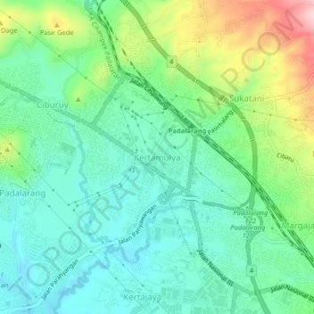
Name: Kertamulya topographic map, elevation, terrain.

Location: Kertamulya, Bandung Barat, West Java, Java, 40552, Indonesia (-6.86688 107.47317 -6.82688 107.51317)

Average elevation: 706 m

Minimum elevation: 640 m

Maximum elevation: 864 m

Gear up for your next adventure:

🚲MTB Frame Bag - Carry tools and maps directly on your bicycle frame
🧥Softshell Hiking Jacket - The perfect balance of wind protection and breathability
🛶Canoe Life Vest - Safety vest for water sports
🧦Crew Hiking Socks - Comfortable socks for long-distance hikes
🛶Waterproof Dry Bags - Keep electronics and clothes dry during river crossings

As an Amazon Associate, this site earns from qualifying purchases at no extra cost to you.