Geolocate

Wayan topographic map

Click on the map to display elevation.

About this map

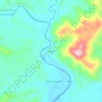
Name: Wayan topographic map, elevation, terrain.

Location: Wayan, Ranau, West Coast Division, Sabah, Malaysia (6.12125 116.92941 6.16125 116.96941)

Average elevation: 143 m

Minimum elevation: 82 m

Maximum elevation: 339 m

Gear up for your next adventure:

🧦Hiking Socks - Moisture-wicking and comfortable socks for long hikes
🧢Outdoor Visor - Breathable visor for sunny hikes
🥘Camping Cookware Set - Compact nesting pots and pans for trail cooking
🚲Heavy Duty Bike Lock - Secure your bike at the trailhead or during stops
💡Compact LED Flashlight - Powerful and portable flashlight for outdoor use

As an Amazon Associate, this site earns from qualifying purchases at no extra cost to you.