Geolocate

Kampung Besut topographic map

Click on the map to display elevation.

About this map

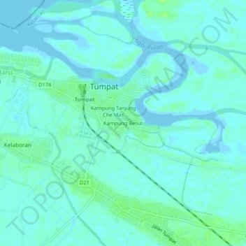
Name: Kampung Besut topographic map, elevation, terrain.

Location: Kampung Besut, Tumpat, Kelantan, 16200, Malaysia (6.17428 102.15376 6.21428 102.19376)

Average elevation: 3 m

Minimum elevation: -2 m

Maximum elevation: 11 m

Gear up for your next adventure:

🥾Trekking Boots - Durable boots for long-distance trekking
🧥Thermal Layer - Insulating layer for cold outdoor conditions
🥾Waterproof Trail Shoes - Shoes designed to handle wet terrain
❄️Traction Ice Cleats - Slip-on spikes for icy trails and winter hiking
🧥Waterproof Pants - Keep dry during rainy hiking conditions

As an Amazon Associate, this site earns from qualifying purchases at no extra cost to you.