
南西 topographic map
Interactive map
Click on the map to display elevation.
About this map
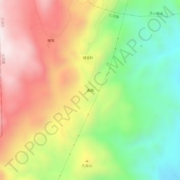
Name: 南西 topographic map, elevation, terrain.
Location: 南西, 七河镇, 古城区, 丽江市, 云南省, 中国 (26.74092 100.21187 26.78092 100.25187)
Average elevation: 2,707 m
Minimum elevation: 2,239 m
Maximum elevation: 3,230 m
Other topographic maps
Click on a map to view its topography, its elevation and its terrain.