
Thank you for supporting this site ❤️
Make a donation
Make a donation
Gear up for your next adventure:
As an Amazon Associate, this site earns from qualifying purchases at no extra cost to you.
Luyahan topographic map
Click on the map to display elevation.
Thank you for supporting this site ❤️
Make a donation
Make a donation
Gear up for your next adventure:
As an Amazon Associate, this site earns from qualifying purchases at no extra cost to you.
About this map
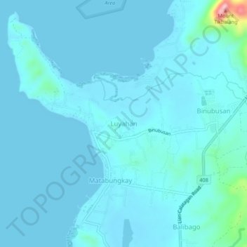
Name: Luyahan topographic map, elevation, terrain.
Location: Luyahan, Lian, Batangas, Calabarzon, 4216, Philippines (13.94102 120.60225 13.98102 120.64225)
Average elevation: 15 m
Minimum elevation: 0 m
Maximum elevation: 204 m
Thank you for supporting this site ❤️
Make a donation
Make a donation
Gear up for your next adventure:
As an Amazon Associate, this site earns from qualifying purchases at no extra cost to you.