Geolocate

Virginia Gardens topographic map

Click on the map to display elevation.

About this map

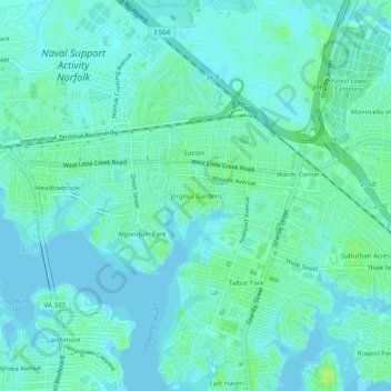
Name: Virginia Gardens topographic map, elevation, terrain.

Location: Virginia Gardens, Norfolk, Virginia, 23505, United States (36.89265 -76.30577 36.93265 -76.26577)

Average elevation: 4 m

Minimum elevation: -1 m

Maximum elevation: 11 m

Other topographic maps

Click on a map to view its topography, its elevation and its terrain.

Gear up for your next adventure:

Camping Tent - Weather-resistant tents suitable for 2 to 6 people
👟Leg Gaiters - Keep debris, mud, and snow out of your boots
🧤Thermal Hiking Gloves - Grip-enhanced gloves for cold-weather altitude trekking
🩹Moleskin Blister Pads - Direct protection for painful foot pressure points
🛰️Satellite Messenger - Emergency communication for areas with no cell service

As an Amazon Associate, this site earns from qualifying purchases at no extra cost to you.