
East Pointe topographic map
Click on the map to display elevation.
About this map
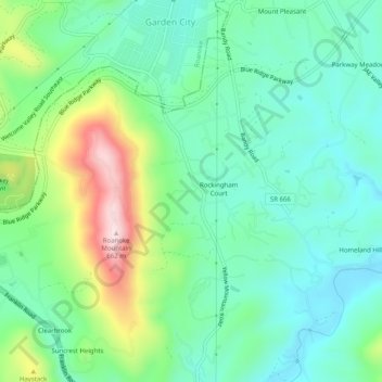
Name: East Pointe topographic map, elevation, terrain.
Location: East Pointe, Roanoke County, Virginia, 24014, United States (37.19403 -79.94559 37.23403 -79.90559)
Average elevation: 375 m
Minimum elevation: 266 m
Maximum elevation: 647 m