
Chazuta topographic map
Interactive map
Click on the map to display elevation.
About this map
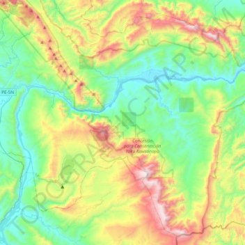
Name: Chazuta topographic map, elevation, terrain.
Location: Chazuta, San Martín, Peru (-6.81086 -76.16599 -6.46312 -75.78941)
Average elevation: 646 m
Minimum elevation: 166 m
Maximum elevation: 1,686 m