
Huamanilla topographic map
Interactive map
Click on the map to display elevation.
About this map
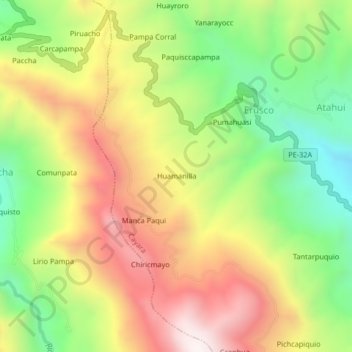
Name: Huamanilla topographic map, elevation, terrain.
Location: Huamanilla, Province of Víctor Fajardo, Ayacucho, Peru (-13.80224 -74.04435 -13.76224 -74.00435)
Average elevation: 3,668 m
Minimum elevation: 3,209 m
Maximum elevation: 4,165 m