Geolocate

Tecumseh topographic map

Click on the map to display elevation.

About this map

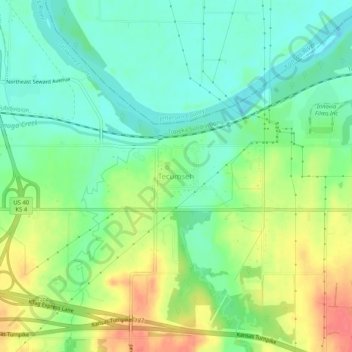
Name: Tecumseh topographic map, elevation, terrain.

Location: Tecumseh, Shawnee County, Kansas, 66542, United States (39.02806 -95.59915 39.06806 -95.55915)

Average elevation: 279 m

Minimum elevation: 256 m

Maximum elevation: 316 m

Gear up for your next adventure:

🧢Hiking Sun Hat - Wide-brimmed protection for exposed mountain ridges
🧼Travel Hand Sanitizer - Keep hands clean when water is scarce
🎒Fully Waterproof Backpack - Total protection for photography gear and electronics
🔨Vehicle Emergency Tool - Safety tool for remote road trips to trailheads
💧Filtered Water Bottle - Safe drinking water on the go

As an Amazon Associate, this site earns from qualifying purchases at no extra cost to you.