Geolocate

Forest Park topographic map

Click on the map to display elevation.

About this map

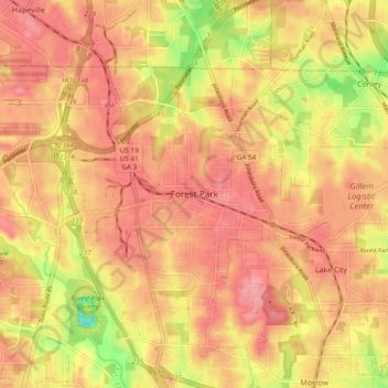
Name: Forest Park topographic map, elevation, terrain.

Location: Forest Park, Clayton County, Georgia, 30297, United States (33.58205 -84.40909 33.66205 -84.32909)

Average elevation: 283 m

Minimum elevation: 215 m

Maximum elevation: 317 m

Gear up for your next adventure:

🪑Ultralight Camping Stool - Compact seating for rest stops during long hikes
🥾Mountaineering Boots - Supportive boots for climbing and high-altitude hiking
🌡️Emergency Mylar Blankets - Compact thermal protection for unexpected nights outdoors
🧊Portable Cooler - Keep food and drinks cold during outdoor adventures
🧥Thermal Fleece Jacket - Versatile insulation for changing mountain temperatures

As an Amazon Associate, this site earns from qualifying purchases at no extra cost to you.