
Make a donation
Gear up for your next adventure:
As an Amazon Associate, this site earns from qualifying purchases at no extra cost to you.
Sulzbach topographic map
Click on the map to display elevation.
Make a donation
Gear up for your next adventure:
As an Amazon Associate, this site earns from qualifying purchases at no extra cost to you.
Sulzbach
Seit 1997 ist in Sulzbach die Höhenrettungsgruppe (HöRG) der Feuerwehr des Main-Taunus-Kreises stationiert. Ihre Aufgaben bestehen im Retten und Bergen von Verletzten aus Höhen und Tiefen, welche im Allgemeinen für eine gewöhnliche Feuerwehr nicht erreichbar sind. Um sich zu den Höhenrettern zählen zu können, bedarf es einer zusätzlichen Ausbildung.
Make a donation
Gear up for your next adventure:
As an Amazon Associate, this site earns from qualifying purchases at no extra cost to you.
About this map
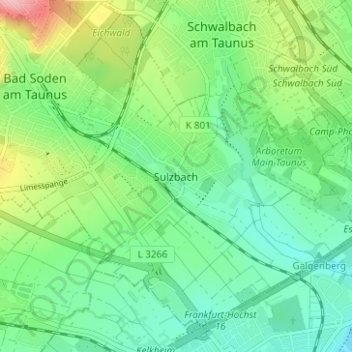
Name: Sulzbach topographic map, elevation, terrain.
Average elevation: 139 m
Minimum elevation: 95 m
Maximum elevation: 240 m
Make a donation
Gear up for your next adventure:
As an Amazon Associate, this site earns from qualifying purchases at no extra cost to you.