Geolocate

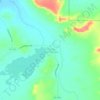
Shiprock topographic map

Click on the map to display elevation.

About this map
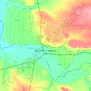
Name: Shiprock topographic map, elevation, terrain.

Location: Shiprock, San Juan County, New Mexico, 87420, United States (36.75433 -108.73993 36.82949 -108.64542)

Average elevation: 1,519 m

Minimum elevation: 1,471 m

Maximum elevation: 1,581 m

Other topographic maps

Click on a map to view its topography, its elevation and its terrain.
Navajo Dam

United States > New Mexico > San Juan County

Average elevation: 1,813 m

Chaco Canyon

United States > New Mexico > San Juan County

Average elevation: 1,910 m

Chaco Canyon

United States > New Mexico > San Juan County

Average elevation: 1,910 m

Lake Valley

United States > New Mexico > San Juan County

Average elevation: 1,814 m

Chimney Rock

United States > New Mexico > San Juan County

Average elevation: 1,661 m

Kirtland

United States > New Mexico > San Juan County

Average elevation: 1,603 m

White Rock

United States > New Mexico > San Juan County

Average elevation: 1,881 m

Dead Mans Wash

United States > New Mexico > San Juan County

Average elevation: 1,590 m

Gear up for your next adventure:

🕯️Camping Lantern - Illuminates your entire campsite with high-efficiency LEDs
🧥Packable Rain Jacket - Breathable waterproof layer for unpredictable weather
🎒Hiking Daypack - Lightweight and durable backpacks for day trips and excursions
🧦Hiking Liner Socks - Thin base layer to prevent friction and blisters
🧢Hiking Hat - Sun-protective and breathable hats for long treks

As an Amazon Associate, this site earns from qualifying purchases at no extra cost to you.