Geolocate

Marathon topographic map

Click on the map to display elevation.

About this map

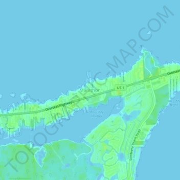
Name: Marathon topographic map, elevation, terrain.

Location: Marathon, Monroe County, Florida, United States (24.69375 -81.11035 24.73375 -81.07035)

Average elevation: 2 m

Minimum elevation: -1 m

Maximum elevation: 10 m

Gear up for your next adventure:

🛌Insulated Sleeping Pad - Critical thermal barrier between you and the cold ground
🧊Insulated Water Bottle - Keeps drinks cold in summer and prevents freezing in winter
🔪Outdoor Multitool - Versatile tool for repairs and food prep in the wild
🏃Hydration Running Vest - Carry water and maps close to your body for speed
🧳Compression Sacks - Maximize space in your backpack by shrinking gear

As an Amazon Associate, this site earns from qualifying purchases at no extra cost to you.