Geolocate

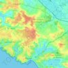
Maisonfort topographic map

Click on the map to display elevation.

About this map
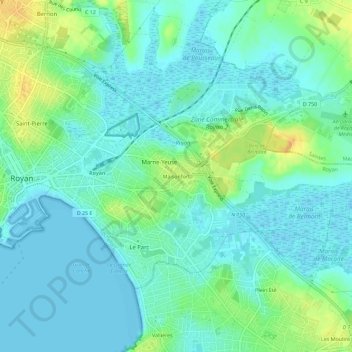
Name: Maisonfort topographic map, elevation, terrain.

Location: Maisonfort, Royan, Rochefort, Charente-Maritime, Nouvelle-Aquitaine, France métropolitaine, 17200, France (45.60471 -1.02365 45.64471 -0.98365)

Average elevation: 9 m

Minimum elevation: -2 m

Maximum elevation: 32 m

Other topographic maps

Click on a map to view its topography, its elevation and its terrain.

17200

France > Nouvelle-Aquitaine > Charente-Maritime > Royan

Average elevation: 14 m

Gear up for your next adventure:

🧥Insulated Jacket - Keep warm in cold outdoor conditions
🥽Outdoor Goggles - Protective eyewear for outdoor activities
🧴Insect Repellent - Protect yourself from bugs during outdoor adventures
🧢Hiking Hat - Sun-protective and breathable hats for long treks
🥾Trail Hiking Boots - Supportive boots for rough trails

As an Amazon Associate, this site earns from qualifying purchases at no extra cost to you.