
Reserva Estatal "Sierra de Tepotzotlán" topographic map
Interactive map
Click on the map to display elevation.
About this map
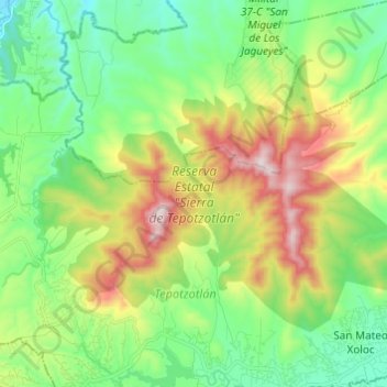
Name: Reserva Estatal "Sierra de Tepotzotlán" topographic map, elevation, terrain.
Average elevation: 2,456 m
Minimum elevation: 2,199 m
Maximum elevation: 2,959 m