
Longport topographic map
Click on the map to display elevation.
About this map
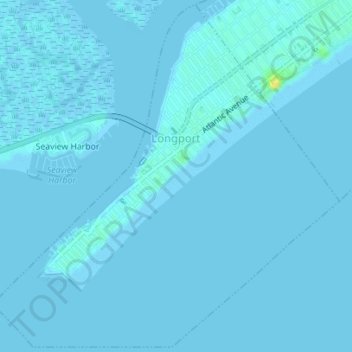
Name: Longport topographic map, elevation, terrain.
Location: Longport, Atlantic County, New Jersey, 08403, United States (39.29822 -74.54296 39.32453 -74.50863)
Average elevation: 1 m
Minimum elevation: -2 m
Maximum elevation: 20 m
Other topographic maps
Click on a map to view its topography, its elevation and its terrain.