Geolocate

Ethodu topographic map

Click on the map to display elevation.

About this map
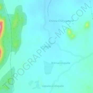
Name: Ethodu topographic map, elevation, terrain.

Location: Ethodu, Tanakal, Sri Sathya Sai, Andhra Pradesh, India (13.88777 78.13485 13.92777 78.17485)

Average elevation: 618 m

Minimum elevation: 590 m

Maximum elevation: 807 m

Gear up for your next adventure:

🧦Crew Hiking Socks - Comfortable socks for long-distance hikes
🧦Hiking Socks - Moisture-wicking and comfortable socks for long hikes
🧭GPS Tracker - Track your location in remote areas safely
🧥Ultralight Puffy Jacket - Maximum warmth that packs down to the size of an orange
🧣Merino Neck Gaiter - Protects against wind, sun, and cold at high altitudes

As an Amazon Associate, this site earns from qualifying purchases at no extra cost to you.