Geolocate

LA FRACONIA topographic map

Click on the map to display elevation.

About this map

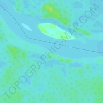
Name: LA FRACONIA topographic map, elevation, terrain.

Location: LA FRACONIA, Puerto Leguízamo, Putumayo, Colombia (0.64009 -75.26785 0.66009 -75.24785)

Average elevation: 186 m

Minimum elevation: 183 m

Maximum elevation: 196 m

Gear up for your next adventure:

👟Sport Hiking Sandals - Breathable footwear for water crossings and camp rest
🥾Trekking Boots - Durable boots for long-distance trekking
🧦Crew Hiking Socks - Comfortable socks for long-distance hikes
🥾Hiking Shorts - Breathable shorts suitable for summer hikes
💧Collapsible Water Bottle - Space-saving water bottle for outdoor activities

As an Amazon Associate, this site earns from qualifying purchases at no extra cost to you.