
Great Pond topographic map
Interactive map
Click on the map to display elevation.
About this map
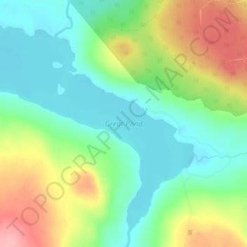
Name: Great Pond topographic map, elevation, terrain.
Location: Great Pond, Hancock County, Maine, United States (44.94618 -68.32294 44.97210 -68.28109)
Average elevation: 130 m
Minimum elevation: 84 m
Maximum elevation: 208 m