Geolocate

Stang Dour topographic map

Click on the map to display elevation.

About this map
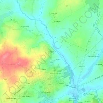
Name: Stang Dour topographic map, elevation, terrain.

Location: Stang Dour, Scaër, Quimper, Finistère, Bretagne, France métropolitaine, 29390, France (48.01733 -3.72064 48.05733 -3.68064)

Average elevation: 170 m

Minimum elevation: 140 m

Maximum elevation: 228 m

Other topographic maps

Click on a map to view its topography, its elevation and its terrain.

29390

France > Bretagne > Finistère > Scaër

Average elevation: 159 m

Gear up for your next adventure:

🧥Insulated Jacket - Keep warm in cold outdoor conditions
🥽Outdoor Goggles - Protective eyewear for outdoor activities
💡LED Camping Lantern - Illuminate your campsite with long-lasting lanterns
🥾Hiking Shorts - Breathable shorts suitable for summer hikes
🛶Waterproof Dry Bags - Keep electronics and clothes dry during river crossings

As an Amazon Associate, this site earns from qualifying purchases at no extra cost to you.