
Jackson Center topographic map
Click on the map to display elevation.
About this map
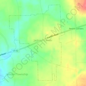
Name: Jackson Center topographic map, elevation, terrain.
Average elevation: 394 m
Minimum elevation: 366 m
Maximum elevation: 430 m
Other topographic maps
Click on a map to view its topography, its elevation and its terrain.
Little Shenango Dam
United States > Pennsylvania > Mercer County > Perry Township
Average elevation: 374 m
Schollard
United States > Pennsylvania > Mercer County > Springfield Township > Leesburg
Average elevation: 379 m