Geolocate

Hosakere topographic map

Click on the map to display elevation.

About this map

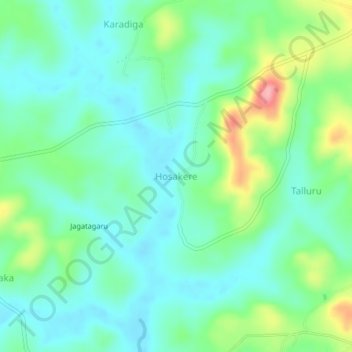
Name: Hosakere topographic map, elevation, terrain.

Location: Hosakere, Tirthahalli taluk, Shimoga, Karnataka, 577414, India (13.76577 75.19585 13.80577 75.23585)

Average elevation: 646 m

Minimum elevation: 613 m

Maximum elevation: 735 m

Gear up for your next adventure:

🧢Outdoor Cap - Protective cap for sun and rain during hikes
🔋Solar Power Bank - Keep your GPS and devices charged during long outdoor trips
🥾Trail Running Shoes - Lightweight and durable shoes for trail running
🧰Emergency Multi-Tool - Compact multi-tool for outdoor survival
🧥Ultralight Puffy Jacket - Maximum warmth that packs down to the size of an orange

As an Amazon Associate, this site earns from qualifying purchases at no extra cost to you.