Geolocate

Newhouse topographic map

Click on the map to display elevation.

About this map

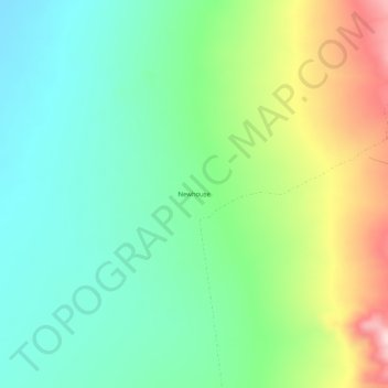
Name: Newhouse topographic map, elevation, terrain.

Location: Newhouse, Beaver County, Utah, United States (38.46107 -113.36191 38.50107 -113.32191)

Average elevation: 1,583 m

Minimum elevation: 1,471 m

Maximum elevation: 1,814 m

Other topographic maps

Click on a map to view its topography, its elevation and its terrain.

Mirror Lake

United States > Utah > Beaver County

Average elevation: 3,016 m

Gear up for your next adventure:

🎒Hiking Daypack - Lightweight and durable backpacks for day trips and excursions
🥾Trail Running Boots - Durable shoes designed for trail running
Camping Tent - Weather-resistant tents suitable for 2 to 6 people
🎒Backpack Rain Cover - External shield to keep your entire pack dry
🧰Multitool Knife - Compact and versatile tool for outdoor use

As an Amazon Associate, this site earns from qualifying purchases at no extra cost to you.