
Lechleiten topographic map
Interactive map
Click on the map to display elevation.
About this map
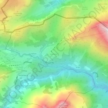
Name: Lechleiten topographic map, elevation, terrain.
Location: Lechleiten, Steeg, Bezirk Reutte, Tyrol, 6767, Autriche (47.24205 10.18093 47.28205 10.22093)
Average elevation: 1,668 m
Minimum elevation: 1,234 m
Maximum elevation: 2,455 m