
Newdale topographic map
Interactive map
Click on the map to display elevation.
About this map
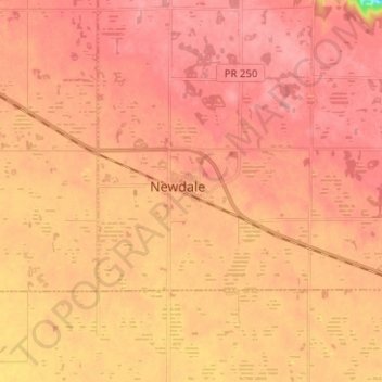
Name: Newdale topographic map, elevation, terrain.
Location: Newdale, Manitoba, Canada (50.31000 -100.24000 50.39000 -100.16000)
Average elevation: 605 m
Minimum elevation: 548 m
Maximum elevation: 622 m