Geolocate

Point Pelee topographic map

Click on the map to display elevation.

About this map

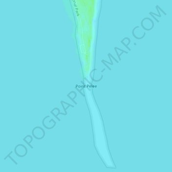
Name: Point Pelee topographic map, elevation, terrain.

Location: Point Pelee, Leamington, Essex County, Ontario, Canada (41.90881 -82.50942 41.90891 -82.50932)

Average elevation: 172 m

Minimum elevation: 171 m

Maximum elevation: 178 m

Essex County trails, hiking, mountain biking, running and outdoor activities

Other topographic maps

Click on a map to view its topography, its elevation and its terrain.

Mersea

Canada > Ontario > Essex County > Leamington

Average elevation: 181 m

Gear up for your next adventure:

🧢Hiking Hat - Sun-protective and breathable hats for long treks
🥾Trail Running Shoes - Lightweight and durable shoes for trail running
🥾Trekking Poles - Adjustable trekking poles to reduce knee stress and improve stability
Camping Coffee Maker - Brew fresh coffee anywhere on the topographic map
🦯Trekking Poles - Reduced impact on joints for steep topographic climbs

As an Amazon Associate, this site earns from qualifying purchases at no extra cost to you.