Geolocate

Beaufort topographic map

Click on the map to display elevation.

About this map

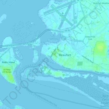
Name: Beaufort topographic map, elevation, terrain.

Location: Beaufort, Carteret County, North Carolina, United States (34.69822 -76.68382 34.73822 -76.64382)

Average elevation: 1 m

Minimum elevation: -2 m

Maximum elevation: 10 m

Other topographic maps

Click on a map to view its topography, its elevation and its terrain.

Gear up for your next adventure:

Camping Essentials - All-in-one gear for a comfortable camping trip
🧭GPS Handheld Device - Reliable GPS navigation for outdoor adventures
💧Reusable Water Bottle - Durable water bottles for hydration on trails
🧴Sunscreen SPF - Broad-spectrum sunscreen for outdoor activities
🌬️Windproof Camp Stove - Efficient cooking even on exposed mountain peaks

As an Amazon Associate, this site earns from qualifying purchases at no extra cost to you.