
Continental topographic map
Interactive map
Click on the map to display elevation.
About this map
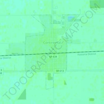
Name: Continental topographic map, elevation, terrain.
Location: Continental, Putnam County, Ohio, 45831, USA (41.08811 -84.27561 41.10758 -84.25683)
Average elevation: 220 m
Minimum elevation: 216 m
Maximum elevation: 223 m