

Pannonian Basin topographic map
Click on the map to display elevation.
Pannonian Basin
Under the geopolitically changed conditions created by World War I and the ensuing Treaty of Trianon, the geomorphological term Pannonian Plain was also used for roughly the same region, referring to the lowlands in the area occupied by the Pannonian Sea during the Pliocene. However, Hungarian geographers consider the term "Pannonian Plain" not only unhistorical but also topographically highly erroneous. Regarding the name as such, they are arguing in terms of ancient history, namely that the northern and eastern boundary line of the namesake Roman province of Pannonia was formed by the River Danube. The Roman province Pannonia was bounded on the north and east by the Danube river, thus the Great Hungarian Plain was not part of that province.
About this map
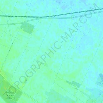
Name: Pannonian Basin topographic map, elevation, terrain.
Location: Pannonian Basin, Cegléd, Ceglédi járás, Pest, 2700, Hungary (47.17033 19.85727 47.17043 19.85737)
Average elevation: 99 m
Minimum elevation: 95 m
Maximum elevation: 104 m